I drew on Tyvek, a non-woven fabric which recalls the silk of early Chinese Maps. I used graphite because of its soft grays and because it has the same root—graphein, or “to write”—as the word “cartography.”
There are 95 sections, 12 inches square, except for the trapezoidal sections at each end of the map which reflect the curvature of the earth.
A stamped graphic on the Locator Map shows the location of each quilted Terrain Square.
The completed map is 15 feet wide and 7 feet tall. I keep it neatly rolled but it can be displayed with custom wood mounts and rare earth magnets.
I’ve always loved topo maps and I wanted to stitch the contours of a topo map as a quilted relief form. I bought topographic software of Nebraska but I quickly became frustrated. When I zoomed in to look at the terrain, I didn’t know where I was. But when I zoomed out to try to see the context, I lost all the details.
I wanted to know what I was stitching and where it was located. I needed to see all of Nebraska’s towns in relation to one another. I imagined that I could then use this “Locator Map” to orient myself and the viewer when I stitched the details of the terrain at a particular location. Since I couldn’t buy a map that large, I decided to make my own.
Using the topo software, I divided the state into a “Liz grid” of 95 sections, 33 miles square, with no relationship to any geophysical or geopolitical boundaries. I printed each section of Nebraska at 4” square, and then, for over two years, I drew every city, town, park, railroad, lake, river and creek onto 12” Tyvek squares, at a scale of 1 inch = 2.75 miles. Because Tyvek is not erasable, I had to draw with intention, trying to match each unassembled square with the ones next to it. My UCARE student, Lindsay Graef, helped me with the drawing.
After drawing the 95 sections, I sewed them all together, top-stitching each section with a double line and stitching around the state border with a triple line. Section numbers are blind-stamped and also embroidered in braille. My UCARE student Sylvia Cox helped me with the braille embroidery and UCARE student Abby Rice helped reinforce the edges of the map.
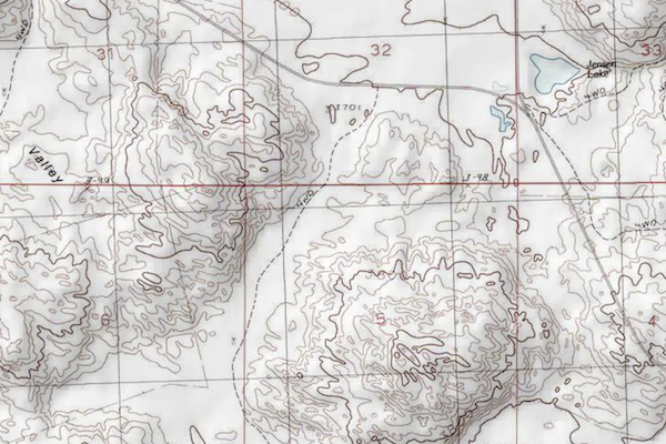 Detail of the topographic software at Level 5
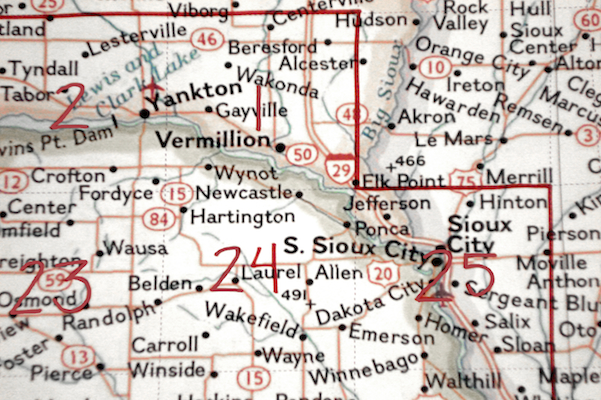 Detail of the Liz Grid of 95 sections
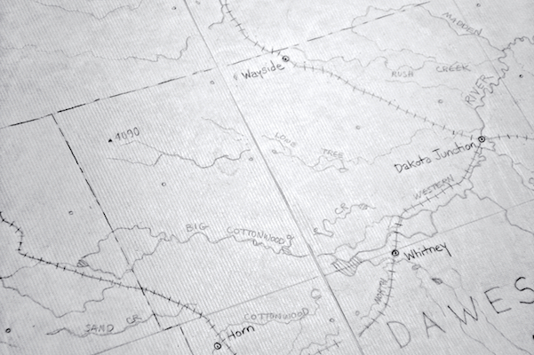 Drawing Sections 11 and 12
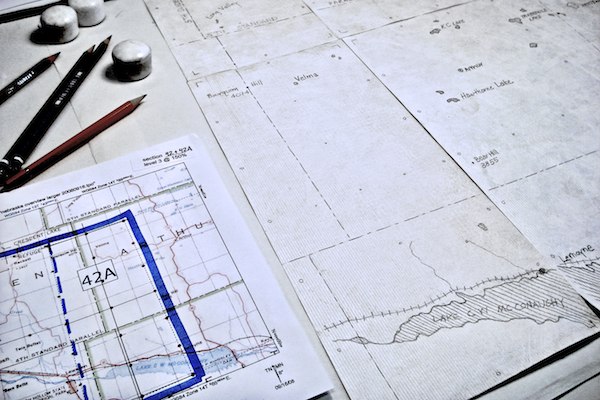 Drawing Section 42A, a trapezoidal section
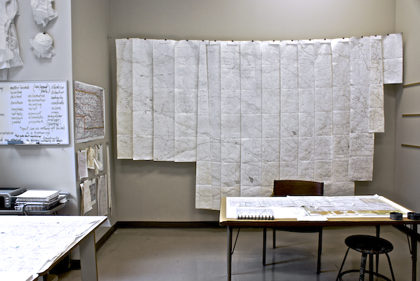 The Locator Map in progress
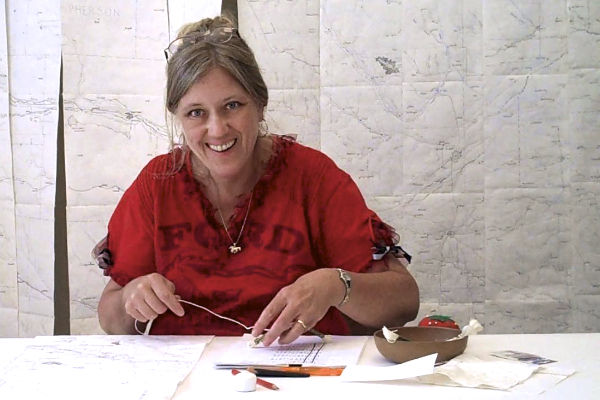 Sylvia Cox embroidering section numbers in braille
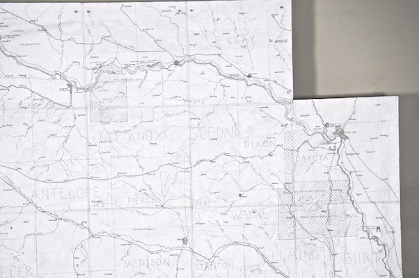 Stamped graphic on Section 35 showing the location of a quilted Terrain Square
 Abby Rice reinforcing the map edges
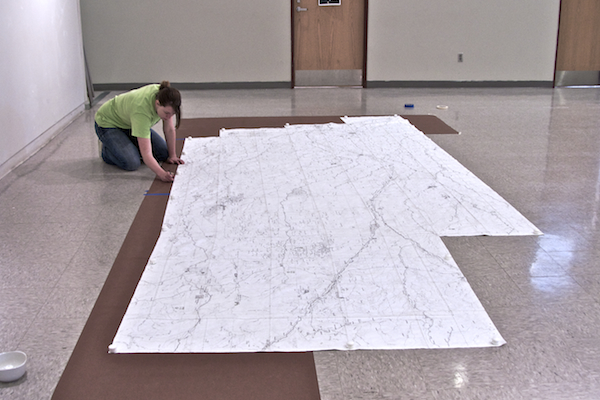
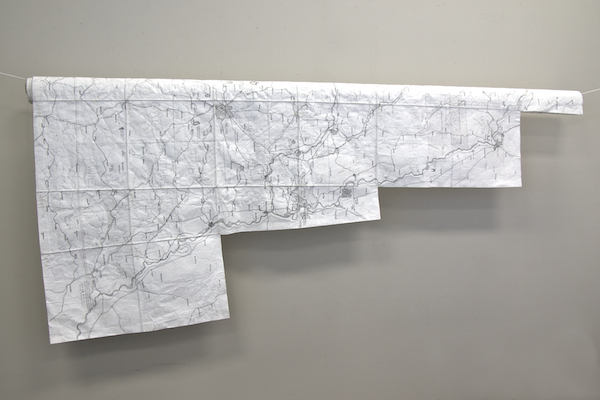 Completed Locator Map