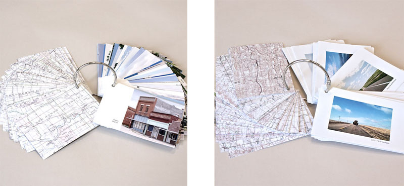
Surveys
"The Rigor of the Horizontal. 4” (h) x 8.5” (w); inkjet printer photographs and topo maps with text; details from the hand-drawn Locator Map on reverse
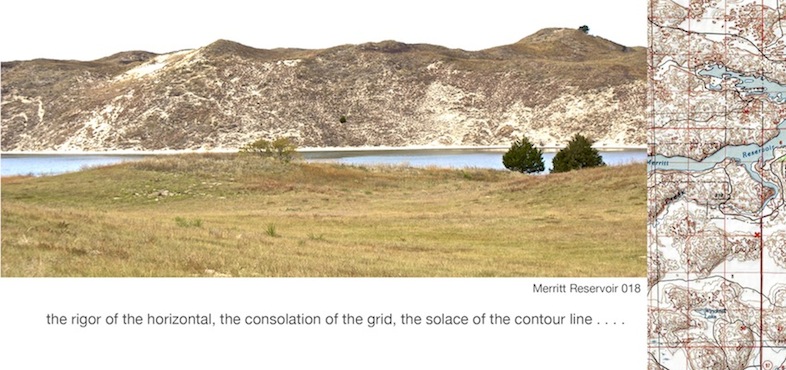
Merritt Reservoir 018: Hwy 97 (October)"
These “surveys” or on-the-ground documentation are from my travels to each of the 95 sections of Nebraska. I document what I see and sense with still images and video and I gather these images into “card decks” and other collections. Cards have scans of the topo maps or the drawn Locator map on the reverse. Road images are captures from my dashboard mounted Flip video camera.


